
UAV SURVEYS AND MAPPING
UAV SURVEYS AND MAPPING
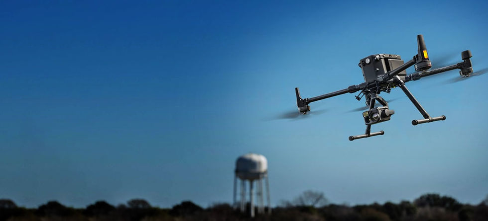
Surveying with a drone offers enormous potential to GIS professionals. With a drone, it is possible to carry out topographic surveys of the same quality as the highly accurate measurements collected by traditional methods, but in a fraction of the time. This substantially reduces the cost of a site survey and the workload of specialists in the field.
Applications range from construction and land survey to commercial developers and their stakeholders. Land survey may include provincial or municipal conservation areas, forests or wetlands. Our quick turnaround with legal and insured operations provide quality aerial data, in a short period of time, with no hassles. Although many operators continue to provide these services without the proper authorization, we have the supporting Transport Canada certifications and licensing, which includes many years of experience flying, as well as full liability insurance for our drone mapping and related operations.
Give KONA NORTH INC a call or email us at harshilbhanderi@konanorth.com for any queries or consultation
View Gallery
We are capable of having complete MEP Coordination for any scale of projects. When KONA NORTH INC is rewarded a project we make sure that all the clashes are resolved. KONA NORTH INC work hand in hand with all the trades such as structural engineers, engineers, architect, HVAC and plumbing from the initial phase till the end of the project.


Benefits of UAV Surveying and Mapping
Aerial Mapping and Surveying:
Drones equipped with high-resolution cameras and LiDAR (Light Detection and Ranging) sensors can capture detailed aerial images and data of construction sites. This information is used to create accurate topographic maps, site plans, and 3D models of the terrain. Aerial surveys provide a comprehensive view of the site, aiding in project planning and design.
Site Inspection and Progress Monitoring:
Drones can be used to conduct regular site inspections and monitor construction progress. By capturing images and videos from various angles and elevations, project managers can assess work quality, verify completed tasks, and identify potential issues or deviations from the project plan.
Volume and Stockpile Measurement:
Drones can calculate the volume of earthworks, stockpiles, and excavation sites quickly and accurately. This data is essential for materials management, determining cut-and-fill quantities, and tracking inventory on large construction projects.
Safety Inspections:
Drones can access hard-to-reach or potentially hazardous areas, reducing the need for personnel to work in dangerous conditions. They can be used to inspect structures, roofs, and other areas for safety compliance, maintenance needs, or damage assessment.
Project Documentation:
Drones capture a wealth of visual data, which can serve as a historical record of construction activities. This documentation can be useful for dispute resolution, insurance claims, and as-built documentation.
Cost and Time Savings:
By automating surveying tasks that would otherwise require time-consuming manual methods, drones can significantly reduce surveying costs and accelerate project timelines.
Improved Decision-Making:
The real-time data and visual insights provided by drones enable project managers and stakeholders to make informed decisions promptly, thereby optimizing project outcomes and resource allocation.
Accurate Site Preparation:
Drones can help identify potential issues in site preparation, such as drainage problems or soil instability, before construction begins, allowing for preemptive solutions.
