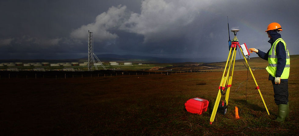
TOPOGRAPHICAL SURVEY
TOPOGRAPHICAL SURVEY
A topographic survey, often referred to as a "topo survey" or "topographical survey," is a type of land survey that focuses on accurately measuring and mapping the physical features and contours of a specific piece of land or area. The primary purpose of a topographic survey is to create a detailed representation of the natural and man-made features of the terrain. This information is essential for various applications in industries such as construction, engineering, urban planning, environmental assessment, and land development. Here are the key aspects of a topographic survey.
KONA NORTH INC. integrates cutting edge technology such as 3D LIDAR laser scanner, total station, GPS and UAV's to capture data accurately and efficiently. Our team ensures we are well equipped for any kind of data you need.
Give KONA NORTH INC a call or email us at harshilbhanderi@konanorth.com for any queries or consultation

Apprehension
1. Data Collection:
A topographic survey begins with the collection of data in the field. Surveyors use specialized equipment and techniques to measure and record various features. These may include:
-
Elevation data to create contour lines.
-
Location of natural features such as hills, valleys, rivers, lakes, and trees.
-
Man-made structures, including buildings, roads, bridges, and utilities.
-
Changes in terrain, such as slopes and embankments.
2. Surveying Equipment
KONA NORTH INC use a variety of equipment for data collection, including total stations, GPS receivers, laser levels, digital levels, 3D laser scanner and other specialized tools. The choice of equipment depends on the project's requirements and accuracy standards.
3. Data Accuracy:
Accuracy is crucial in topographic surveys, especially when they are used for engineering and construction projects. Surveyors use control points with known coordinates to ensure the accuracy of their measurements.
4. Field Work:
We visit the site and gather data through a combination of measurements, observations, and note-taking. we have a number of teams to efficiently cover large areas.
5. Data Processing:
The collected field data is processed and analyzed using specialized software. This includes creating detailed maps, contour lines, and 3D models of the surveyed area.
6. Contour Lines:
Contour lines are one of the most essential components of a topographic map. These lines represent points of equal elevation, allowing viewers to understand the terrain's shape and slope.
7. Mapping and Documentation:
The results of the topographic survey are typically presented as topographic maps, also known as contour maps. These maps provide a clear visual representation of the land's features.
9. Regulatory Compliance:
In some cases, topographic surveys may be required by local regulations or authorities before land development or construction projects can proceed.
8. Applications:
Topographic surveys are used for a wide range of purposes, including:
-
Site planning and development: To assess suitability for construction and infrastructure projects.
-
Engineering and design: For road design, drainage planning, and grading.
-
Environmental assessment: To understand the impact of proposed developments.
-
Floodplain mapping: To assess flood risks and plan flood mitigation measures.
-
Land use planning: To determine zoning and land use regulations.
-
Geological studies: To understand the geological features of an area.
Customized Deliverables
Volume and stock pile Calculations
design to As-built model Analysis
Structural Analysis
Prepare Architectural packages from point cloud
Floor Flatness and levelness ASTM E1155
New Construction Accuracy Analysis/Comparative Analysis
Deviation Analysis
Reproduction of 2D plans.
Determining areas (facades, roofs, parking lots, etc.).
Storage Tank Inspection
Digital and 3D Modeling
Creation of a point cloud geo-located in space using control points or gridlines.
Wall and column Plumbness Analysis
Quality assurance and quality control (QA/QC)
Frequently Asked Questions

